Skip to content
AxleGuard
Demo

Routing

A 300-mile route is not one flat line.

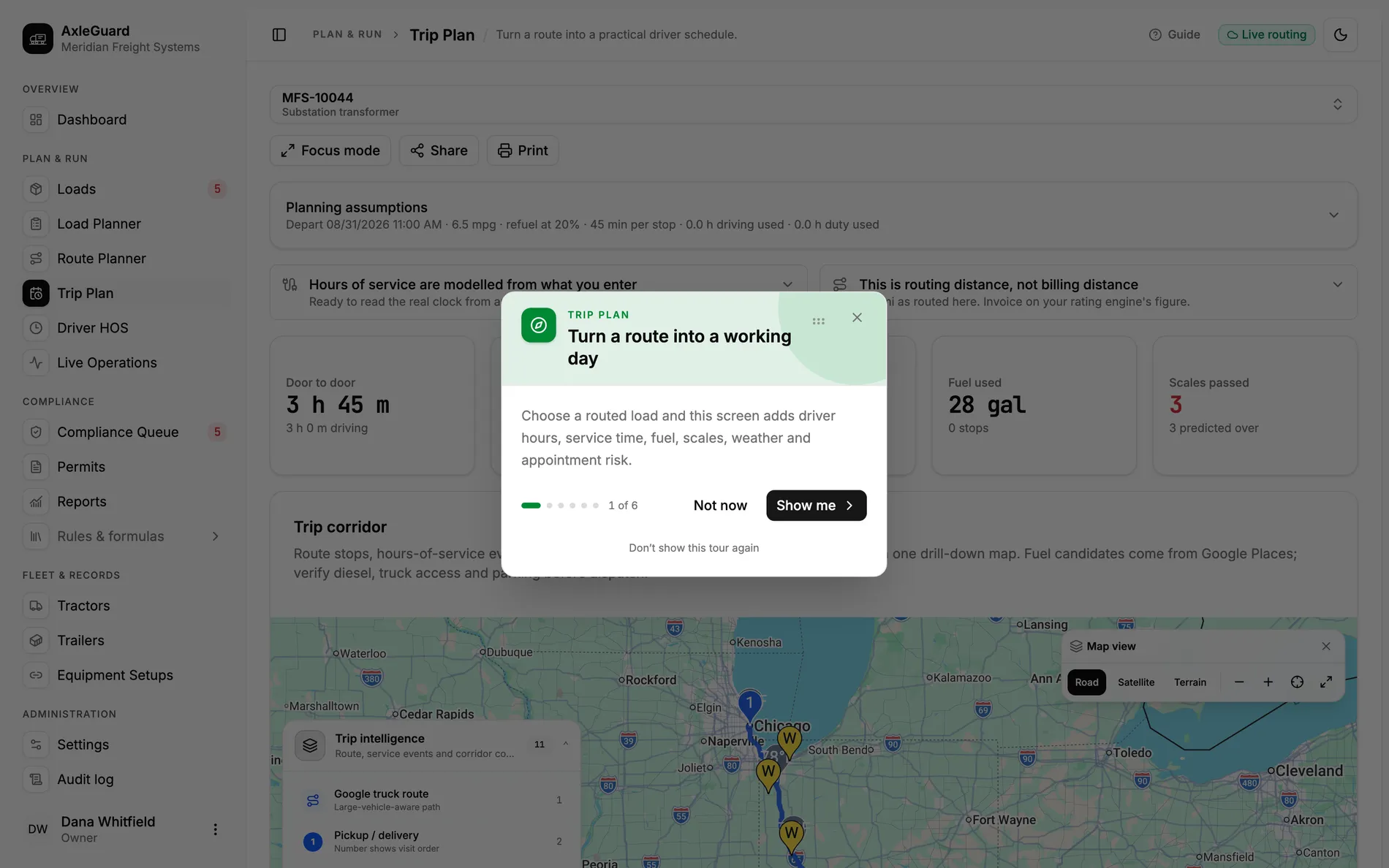
AxleGuard road-snaps the planned corridor, samples elevation and grade, and checks crosswind against the actual route. It also carries fuel and nearby stop candidates into the trip plan, so a dispatcher can review the hard part of the road before the driver reaches it.

Terrain source
Road-snapped
grade follows the stored route line
Condition check
Crosswind
compared with corridor direction
Provider evidence
Call log
latency and provider usage remain visible

In the product

The screen where this work happens.

Open AxleGuard

What changes

Three outcomes that matter in the operation.

Each outcome connects what the software does to the decision a planner, loader or driver can actually make.

01

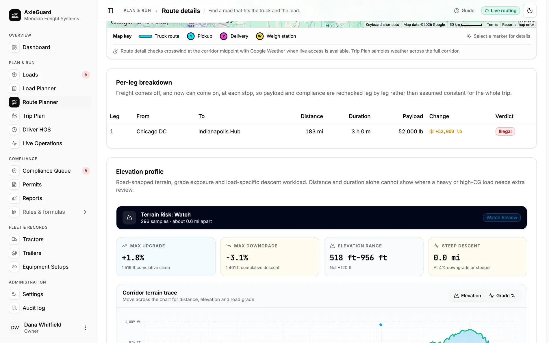
The climb and descent are visible before dispatch

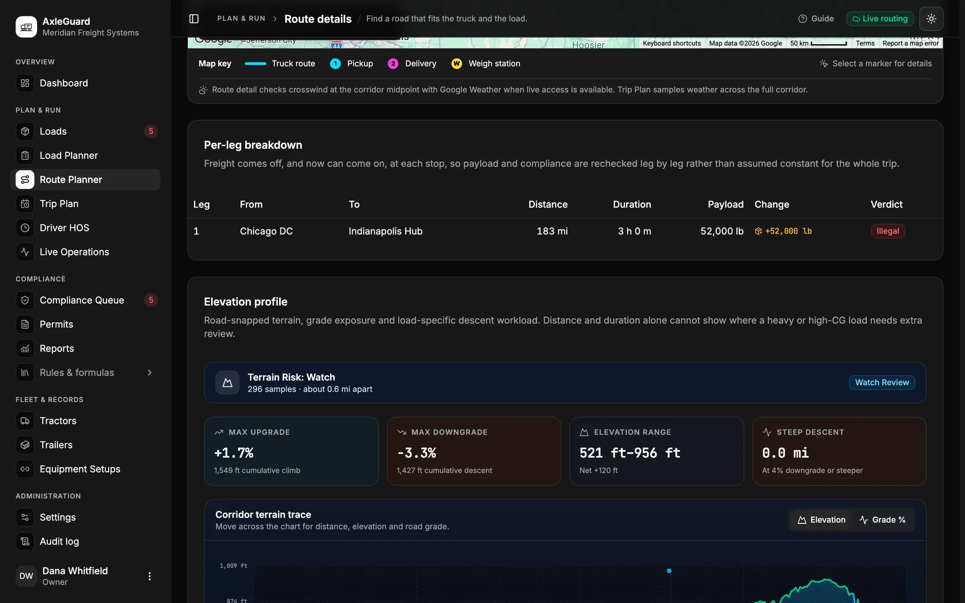
The stored route line is snapped to the road and sampled for elevation. Maximum upgrade, downgrade, elevation range and steep-descent distance sit beside the trace.

Why this is different

Distance and duration treat a flat interstate and a long descent as the same trip. The terrain profile shows where a heavy or high-centre-of-gravity load needs a second look.

One descent hidden inside an ordinary ETA

The route still reads six hours. The profile shows the sustained downgrade and the load record supplies its weight and centre of gravity. The planner reviews that corridor before accepting the ETA.

02

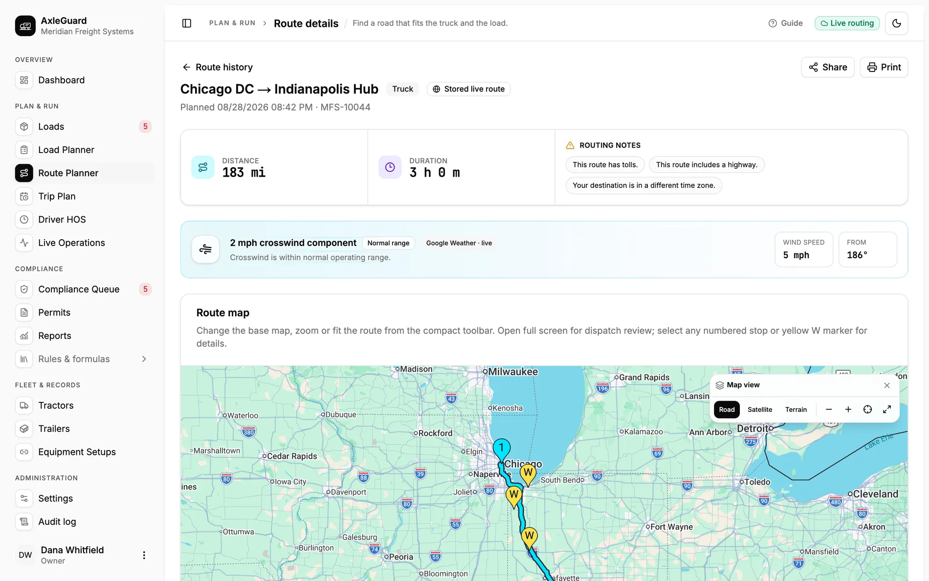
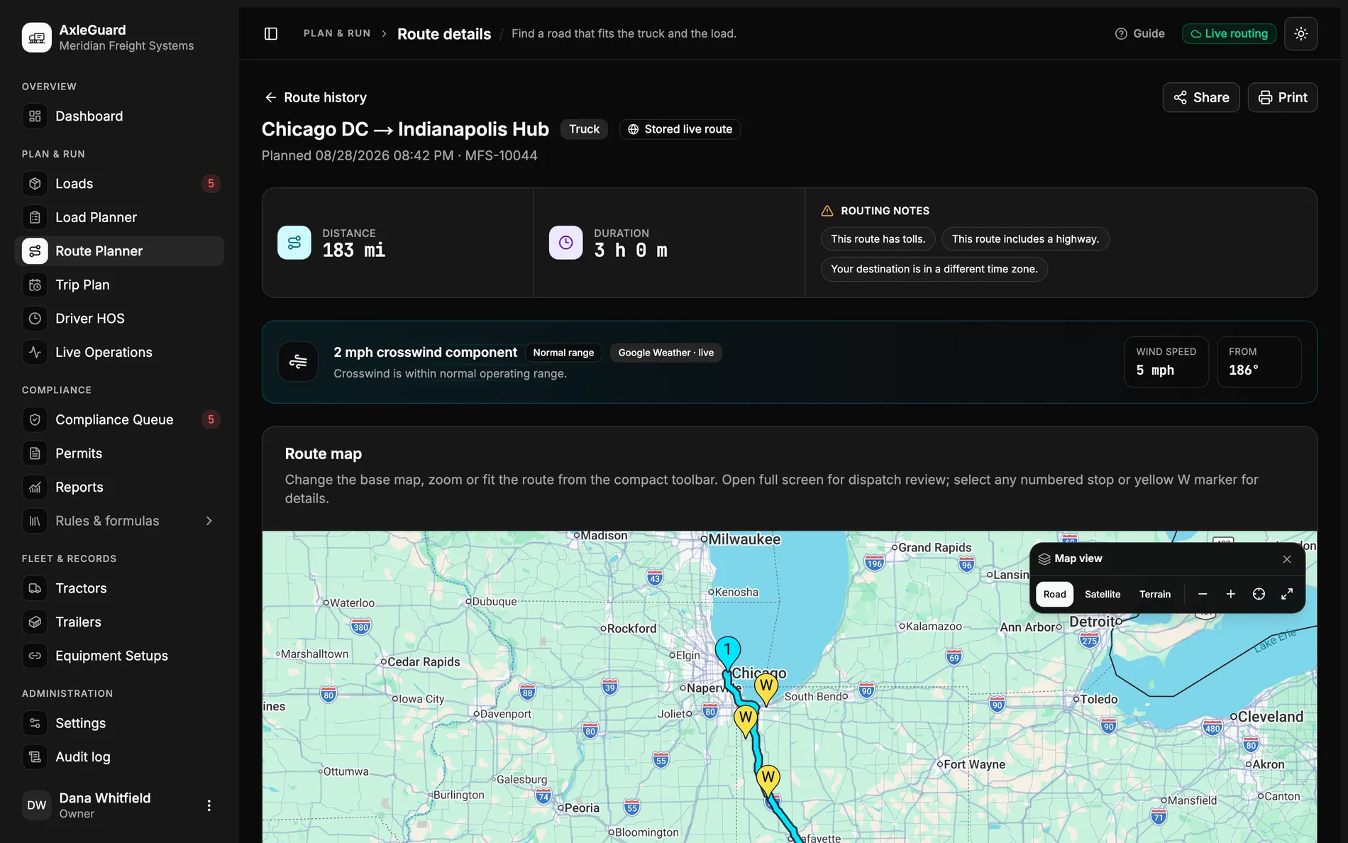
Crosswind is checked against the road, not a city name

Current weather is sampled at route points and the wind vector is compared with the corridor direction. High-sided equipment can be flagged for review.

Why this is different

A weather tile for the destination cannot show a crosswind halfway through the run. The useful question is what the wind is doing across the road the truck will use.

03

Fuel and stop candidates stay in the same plan

Fuel assumptions, projected thresholds and nearby candidates feed the trip plan instead of living in a separate search.

Why this is different

The driver’s clock, the fuel stop and the scale encounter affect one another. Keeping them together exposes a plan that fits the miles but not the day.

How it works

From input to answer.

The logic is visible. There is no “AI decided” step between the load and the verdict.

Important boundary

Terrain, weather and fuel data support planning. Conditions change, nearby fuel results do not prove truck access, and the driver remains responsible for the road in front of the vehicle.

  1. 01

    Keep the planned route

    The exact stored polyline is the common reference for every later signal.

  2. 02

    Snap and sample

    Road points are cleaned, then elevation and current conditions are sampled along them.

  3. 03

    Add the load

    Weight, equipment height and centre of gravity turn a generic hill or wind into a load-specific review.

  4. 04

    Carry it into the day

    Fuel, stops, scales and time appear in Trip Plan with the same route and load.

Where to test it

Hard cases worth checking.

  • A route with an ordinary ETA and a sustained downgrade hidden inside it.
  • A high-sided trailer meeting a crosswind at the corridor midpoint.
  • A fuel stop that consumes the remaining duty window.
  • A provider response served from cache, with its source still visible.